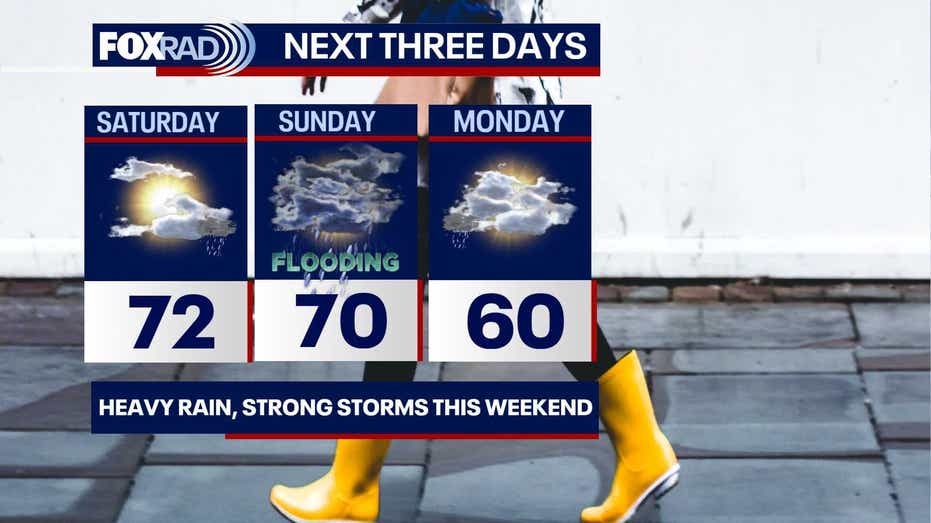









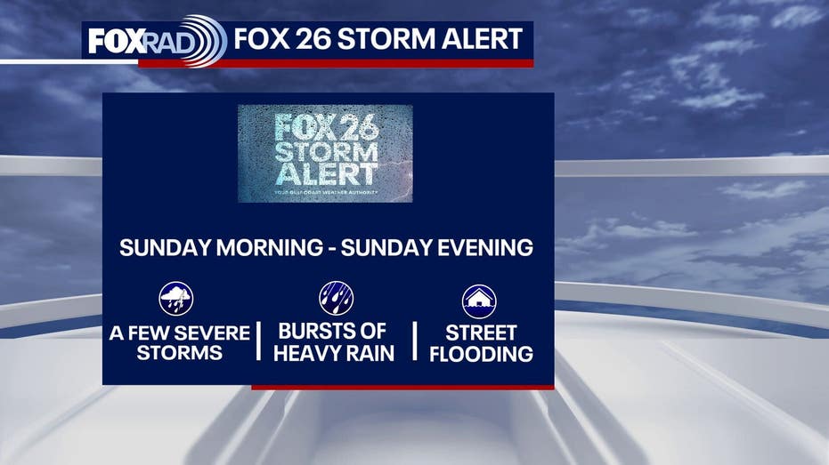
As the weekend unfolds, Saturday in Houston is set to be cool and sunny, with temperatures rising to the low 70s by the afternoon. However, the forecast for Sunday indicates that widespread rain and thunderstorms are on the horizon due to an approaching cold front.
Saturday kicked off with temperatures ranging from the low to mid-50s, with some areas experiencing even cooler conditions in the upper 40s. The day promises ample sunshine, though cloud cover may increase later in the afternoon, potentially bringing a few light showers. Additionally, wind gusts exceeding 20 mph have prompted the National Weather Service to issue Gale Warnings for the coastline throughout Saturday and into Sunday.
By midday Sunday, heavy downpours are anticipated to sweep across the Greater Houston area. The region is currently facing a 1 out of 5 risk for strong to severe storms, with projections of 2 to 4 inches of localized heavy rain, and some areas may experience even higher amounts.
Following the cold front’s passage, temperatures are expected to dip again by Monday morning, settling back into the 50s. The afternoon will see highs around 60 degrees, with rain expected to clear out early, leading to a mostly dry day. Chilly temperatures will persist into Tuesday, with morning lows in the 40s and 50s and afternoon highs reaching the 60s.