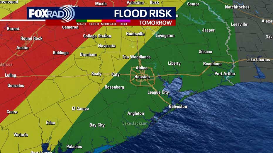








HOUSTON – Wednesday is expected to bring some rain clouds, although the conditions will be milder compared to the previous day.
Residents can anticipate isolated heavy storms throughout the day. While it will be a warm Wednesday, scattered storms are likely to develop in the afternoon, leading to potential localized street flooding.
A combination of clouds and scattered showers, along with thunderstorms, is forecasted for Southeast Texas starting late in the morning. Although the storm activity may be sporadic, brief downpours and lightning are anticipated, with some storms capable of producing up to 3 inches of rain in a short period. High temperatures will reach the upper 70s to nearly 80 degrees.
As the work week progresses, a warming trend will take hold, with high temperatures climbing into the mid-80s and humidity levels increasing. While the chances for rain will diminish, an isolated shower cannot be completely ruled out.
The upcoming weekend is expected to be warm and humid, with highs ranging from the mid to upper 80s under partly cloudy skies. Although the overall likelihood of rain remains low, a few isolated showers or storms may arise in the afternoon heat.