








Houston is experiencing light precipitation chances that will continue into the night as we move through April 12. Although isolated showers and storms are possible, their coverage is expected to be limited.
The current weather setup remains uncertain, but any storms that do form could quickly escalate in intensity. The primary concerns are isolated hail and gusty winds, with the risk of tornadoes being very low.
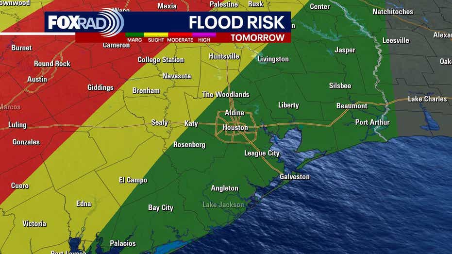
According to the National Weather Service, rainfall amounts have reached three to four inches, with an additional one to three inches anticipated. A Flood Watch is currently in effect for Waller, Montgomery, Harris County, and several other counties northwest of Houston, lasting until Monday morning.
The highest likelihood for storms is positioned to the north and northwest of Houston, particularly closer to College Station. Conversely, areas near the coast are likely to remain mostly dry, characterized by warm and humid conditions.
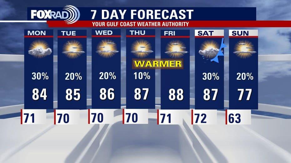
Looking ahead, the upcoming week is expected to bring warmer temperatures with highs reaching the mid to upper 80s, accompanied by muggy weather. While a few isolated storms may still occur, many regions will likely remain free of rain.