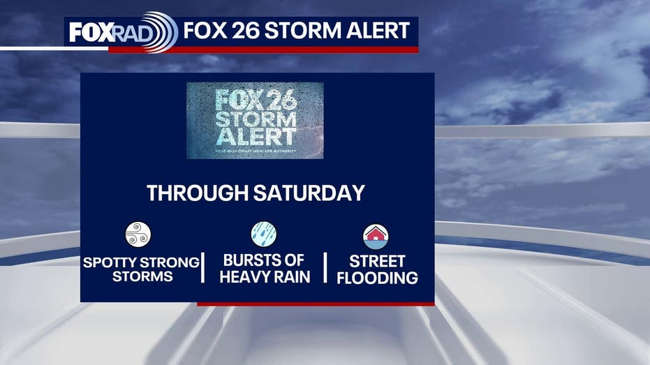







HOUSTON – Greater Houston is bracing for another day characterized by storms and heavy rainfall.
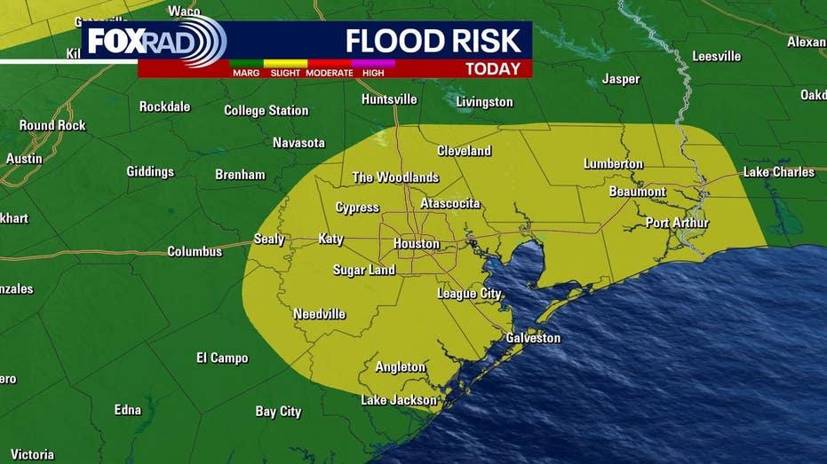
By this afternoon, scattered showers and thunderstorms are anticipated across Southeast Texas, with some areas potentially experiencing significant downpours. These intense rain events could lead to rapid street flooding, particularly in locations that have already received substantial rainfall this week.
A Flood Advisory remains in effect until 4 p.m. Saturday for parts of Harris and Fort Bend Counties. The National Weather Service (NWS) has already recorded rainfall amounts between 1 to 2 inches in the region, with an additional 1 to 3 inches expected.
Furthermore, another advisory is in place until 5:15 p.m. for other areas of Harris County, along with parts of Brazoria, Chambers, Galveston, and Liberty Counties. The NWS has noted that up to two inches of rain have fallen in these areas, with another 1 to 3 inches on the horizon.
Looking ahead, rain chances are projected to decrease. Although the unsettled weather pattern will persist into Sunday, a rise in warmer air is expected to reduce storm coverage. A few showers or storms may still develop, but drier intervals should allow temperatures to approach the 90-degree mark.
As the week progresses, hot and humid conditions are forecasted to return, coinciding with preparations for World Cup events in Houston. High temperatures are expected to reach the low 90s, accompanied by steamy afternoons, warm mornings, and only isolated storm chances.