







HOUSTON – A warming trend is on the horizon as high pressure shifts eastward, allowing for a return flow from the Gulf. This change will begin to take effect starting Tuesday.
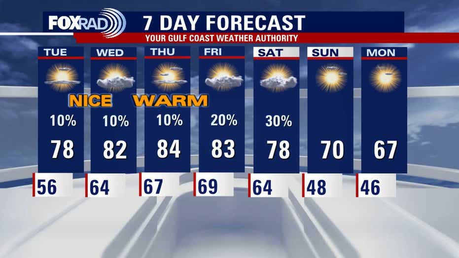
On Tuesday, high temperatures are expected to reach the upper 70s, with a further increase into the low to mid 80s by Wednesday and Thursday. These temperatures will be significantly above normal, potentially approaching record highs.
As the southeast breeze returns, residents can anticipate low clouds each morning, accompanied by occasional light drizzles.
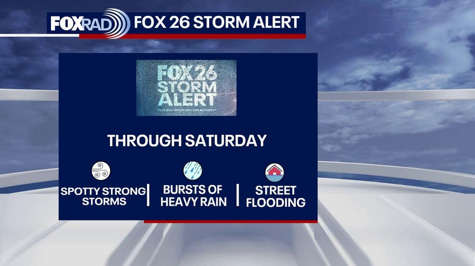
Despite receiving 1 to 1.5 inches of rain from severe storms this past Saturday, the region remains entrenched in a concerning drought. Although humidity levels will gradually rise, significant rainfall that could provide relief remains elusive for Southeast Texas.
Over the next seven days, overall rain chances are low, with only a few light showers expected in the mornings and a slightly elevated chance of rain by Saturday. This persistent dry pattern continues to intensify the widespread drought conditions affecting the area, stretching westward to cities like Austin and San Antonio.