








HOUSTON – As the showers from Easter Sunday dissipate, residents can look forward to a brief period of clear skies and cooler temperatures.
The overcast conditions and lingering moisture experienced today are remnants of yesterday’s cold front. While areas north of Interstate 10 can anticipate a dry afternoon, those nearer to the coast will continue to face scattered showers into the evening.
By midnight, the moisture is expected to clear, paving the way for a significantly cooler air mass to settle in as the work week begins.
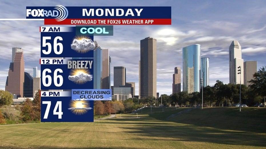
On Monday and Tuesday, the weather will be ideal for those who appreciate crisp spring conditions. Monday is forecasted to bring ample sunshine with temperatures reaching the mid-70s. However, clear skies overnight will result in the coldest temperatures of the week, with areas in the Piney Woods potentially dipping into the upper 40s and the Houston Metro area remaining in the mid-50s.
The pleasant dry spell will start to wane on Tuesday night as an onshore flow returns from the Gulf. This southerly breeze will reintroduce moisture into the region, pushing high temperatures back into the low 80s by the weekend.
As humidity rises, unsettled weather is expected to return, beginning with isolated “streamer” showers on Wednesday and evolving into more widespread rain chances by Thursday and Friday.