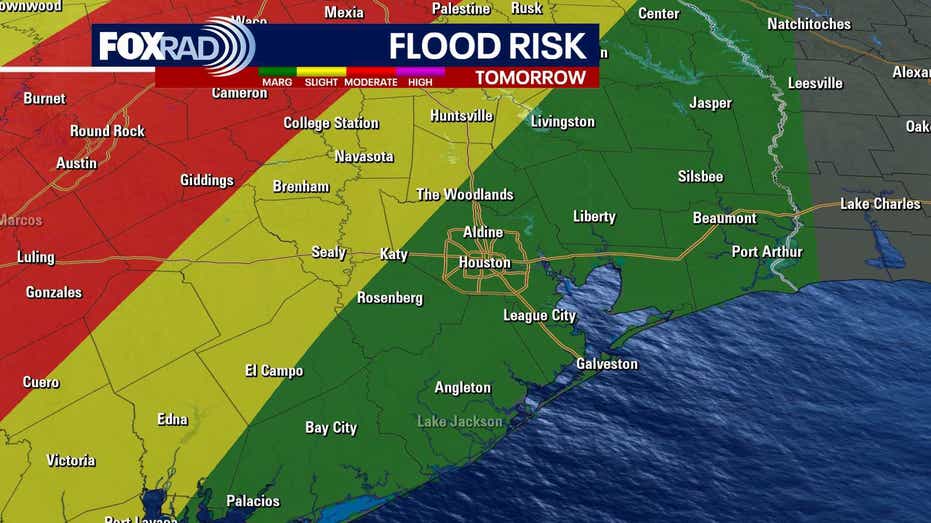








HOUSTON – A powerful cold front is set to sweep through Southeast Texas on Sunday evening, ushering in a wave of strong storms accompanied by gusty winds. The storms are expected to develop between 5 and 9 p.m., bringing with them a chance of severe weather.
Residents of Houston face a low risk of severe storms, rated at 1 out of 5, while areas in Walker, Polk, and San Jacinto counties may experience a slightly higher risk of 2 out of 5. The primary threats associated with this weather system include damaging wind gusts and hail.
Following the storms, temperatures are predicted to drop significantly, leading to a chilly start to the work and school week. The arrival of cooler air will be marked by brisk winds, setting the stage for a blustery Monday.
The National Weather Service has issued several alerts in anticipation of the incoming front. A WIND ADVISORY will be in effect from Sunday morning through Monday evening across Southeast Texas. Additionally, a RED FLAG WARNING will apply to all counties on Monday, highlighting elevated fire risks. For those on the water, a SMALL CRAFT ADVISORY will begin Sunday morning for both bays and Gulf waters, transitioning to a GALE WATCH by Monday afternoon.
On Monday, residents should prepare for a substantial temperature drop—forecasted highs will only reach the low 60s, a steep decline of 25 degrees from Sunday’s temperatures. Overnight lows are expected to hover in the 30s and 40s, although a hard freeze is not anticipated. Extra layers will be necessary to stay warm.
Fortunately, the cold snap is not expected to last long. By next Thursday, temperatures are projected to rebound into the 80s, with the potential for the first 90-degree day of the year by the following weekend.