





Texas is bracing for a heightened risk of flooding as stormy weather is expected to persist through Friday. While the likelihood of severe weather is diminishing, the potential for flooding remains a significant concern across the state.
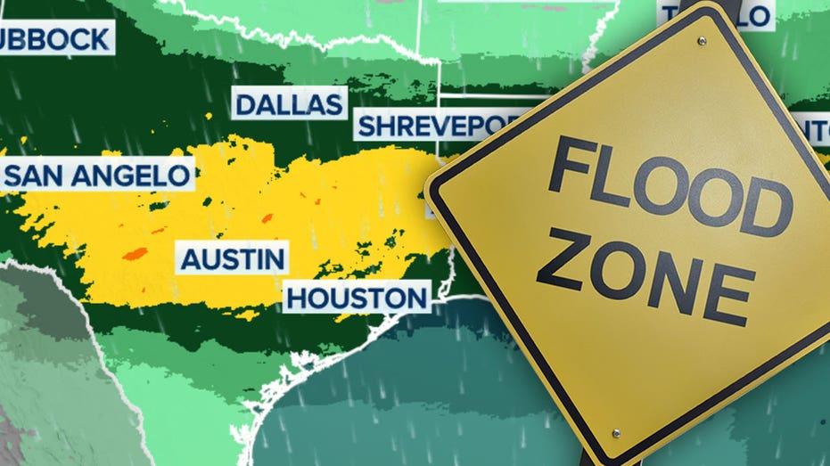
Flood Watches are currently in effect from one end of Texas to the other, with some areas anticipating as much as 5 inches of rain by Saturday. A weather pattern that has already caused dangerous storms will continue to affect the region for at least a few more days.
The National Oceanic and Atmospheric Administration’s (NOAA) Weather Prediction Center has identified parts of south-central and eastern Texas as being in a Level 2 out of 4 risk zone for flooding due to multiple weather systems contributing to the ongoing rain.
Forecasters estimate that a broad area of central and eastern Texas may receive up to 3 inches of rain, with isolated regions potentially experiencing totals reaching 5 inches.
Flood Watches have been issued for key cities across the state, including Midland, Del Rio, San Antonio, Austin, Huntsville, and Houston.
While flooding is never welcome, the rain is essential as approximately 80% of Texas is currently experiencing some degree of drought, with the most severe conditions reported in southern Texas and the Big Bend region.
As the situation evolves, residents are encouraged to stay informed and prepared for the potential impacts of the ongoing storms.