






A significant weather event is poised to impact a large portion of Texas this week, with state officials warning residents to prepare for heavy rainfall and potential flooding. Governor Greg Abbott has emphasized the importance of readiness as the state braces for what could be a major flooding incident.
In an early warning issued on Monday, state leaders urged Texans to take necessary precautions ahead of the expected downpours. Governor Abbott highlighted that the anticipated rainfall could mirror the dangerous flooding experienced in July, stressing the importance of preparation.
“We want to ensure that our fellow Texans are aware of the substantial rain that is about to hit their area,” Governor Abbott stated. He encouraged residents to take proactive measures to safeguard themselves, their families, and their properties.
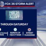
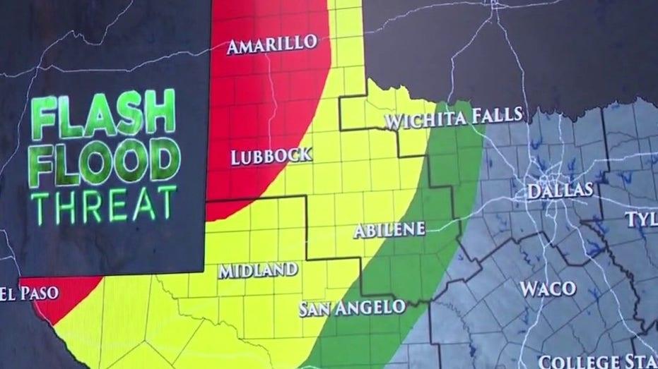
The weather system is set to begin affecting far west Texas and El Paso on Monday night, with a slight risk of flooding and flash flooding. By Tuesday, rain is expected to extend across much of west Texas and the Panhandle, impacting cities from Amarillo to Lubbock and Midland.
“Flash floods should be anticipated, with rainfall amounts reaching five to seven inches. Winds in these areas could gust up to 60 miles per hour, with the potential for tropical tornadoes producing winds as strong as 80 miles per hour,” the governor warned.
On Wednesday, the heavy rain is anticipated to spread across most of Texas, particularly affecting the I-35 corridor that runs from north to central Texas. The arrival of a cold front in these areas could result in significant rainfall.
Governor Abbott cautioned that if the cold front stalls, it could lead to unprecedented rainfall totals in certain regions. The flash flooding threat is expected to extend into Thursday, with forecasts indicating the possibility of 10 inches of rain from areas north of Dallas to those south of San Antonio.
In response to the impending weather, approximately 1,900 state responders have been deployed, equipped with high-water vehicles, search and rescue boats, and helicopters. The Texas Department of Transportation (TxDOT) will actively monitor roadways, drainage systems, and conduct debris removal and damage assessments as required.
“Just six inches of fast-moving water can cause loss of control for drivers. We urge everyone to turn around, don’t drown, and avoid driving around barricades while exercising extreme caution on wet roads,” said Brandye Hendrickson of TxDOT.
The Texas National Guard is also mobilizing personnel and equipment to assist in areas likely to be affected. Over 100 personnel, along with four helicopters and more than 30 military vehicles, will be on standby for high-water rescues.
“These resources will enable us to conduct aerial search and rescue missions, ground evacuations, and deliver critical supplies such as food, water, and medicine,” explained Major General Thomas Suelzer of the Texas Military Department.
Looking ahead, the Emergency Operations Center will commence 24/7 operations starting Tuesday at 7 a.m., ensuring that the state is ready to respond to any emergencies that may arise during this weather event.
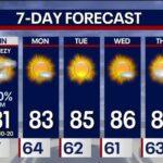
As the week unfolds, Austin and surrounding areas can expect cooler temperatures alongside the rain, with forecasts predicting a trend towards the low 80s.