







HOUSTON – August has arrived, and while we are still experiencing the sweltering days of summer, the recent rain showers have provided a bit of relief.
A weak summer front moved into Southeast Texas over the weekend, resulting in some isolated showers and thunderstorms on Saturday and Sunday. While not everyone will experience rain, certain areas may benefit from cooler temperatures as a result of these storms, especially north and west of I-10, where the potential for heavier rain exists.
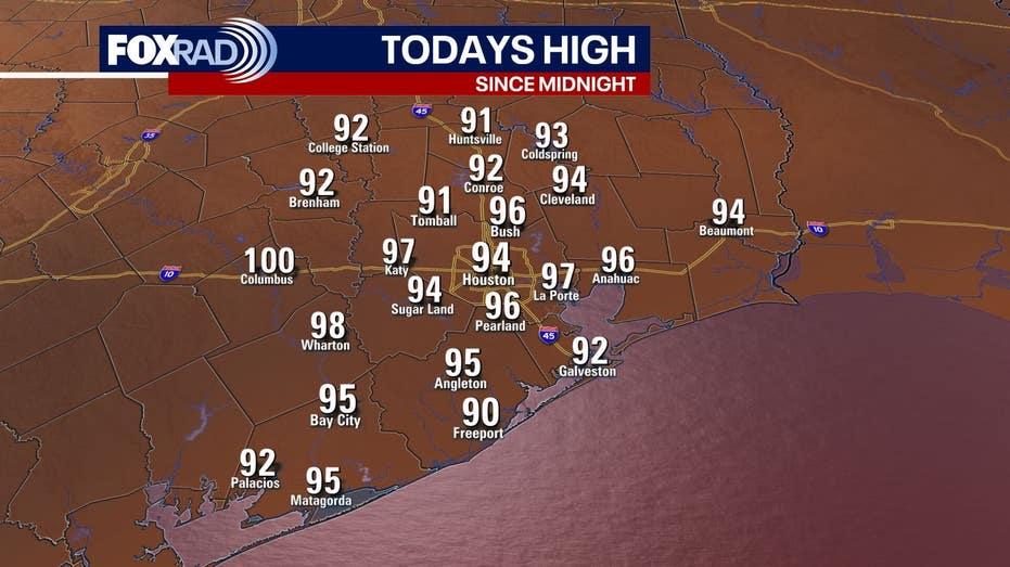
On Saturday, a Heat Advisory was issued from 1 PM to 7 PM, indicating that even though temperatures hovered in the low to mid 90s, the heat index felt much more intense, ranging from 107 to 112 degrees. However, following the passage of this front, some regions could see a drop in humidity, with dew points potentially falling into the 50s north of Houston. This change will bring a much-needed refreshing feel compared to the usual sticky summer air.
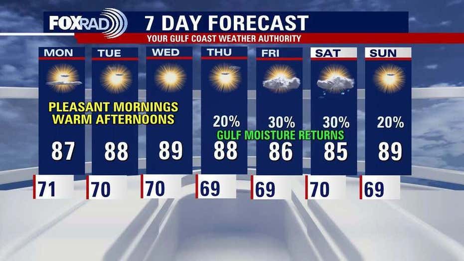
It’s important to note that this brief cooldown is expected to be short-lived, as temperatures are projected to soar back into the triple digits starting Monday.
In terms of tropical activity, the Atlantic basin remains calm, posing no immediate threats to Houston or the Gulf Coast at this time. However, August typically sees an uptick in tropical occurrences, so vigilance is advised moving forward.