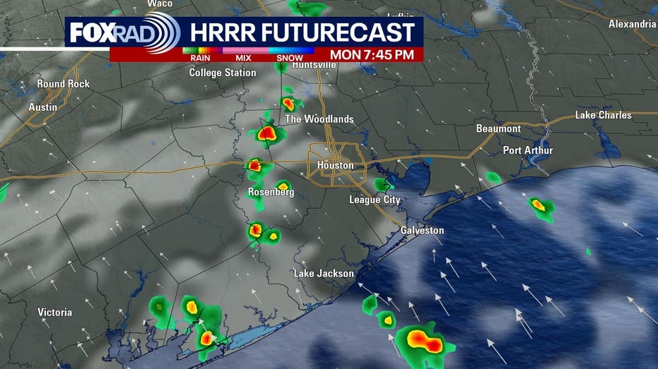









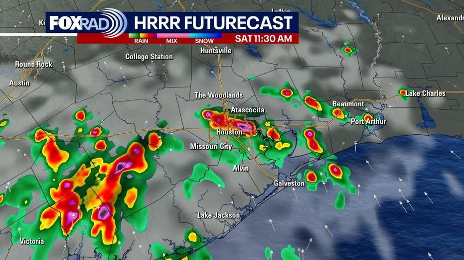
Houston is poised for a weekend marked by increased cloud cover and a higher likelihood of rain, as moisture from the Gulf continues to flow into the area. Scattered showers are expected to begin late Saturday morning, potentially accompanied by isolated thunderstorms throughout the afternoon.
The forecast indicates that these showers and storms will persist into early next week, raising concerns about possible street flooding. While rain will not be continuous, repeated heavy downpours could lead to localized flooding in certain areas.
Current models suggest that the greatest risk for heavy rainfall will occur on Monday, with a moderate chance of street flooding also predicted for Sunday. The risk is rated at one out of four for Sunday, which will escalate to two out of four by Monday, prompting a Storm Alert for that day.
In terms of tropical activity, the situation remains calm for the moment. Influences from El Niño and Saharan dust are contributing to stable conditions in the tropics, characterized by high wind shear and dry air. This environment makes the development of tropical systems unlikely for the time being. The National Hurricane Center has indicated that the Atlantic, Caribbean, and Gulf regions will remain quiet for at least the next week. However, with hurricane season peaking on September 10 and running through the end of November, vigilance is advised despite the current tranquility.
As Houston navigates through this period of daily rain chances, residents are encouraged to stay informed and prepared for changing weather conditions.