






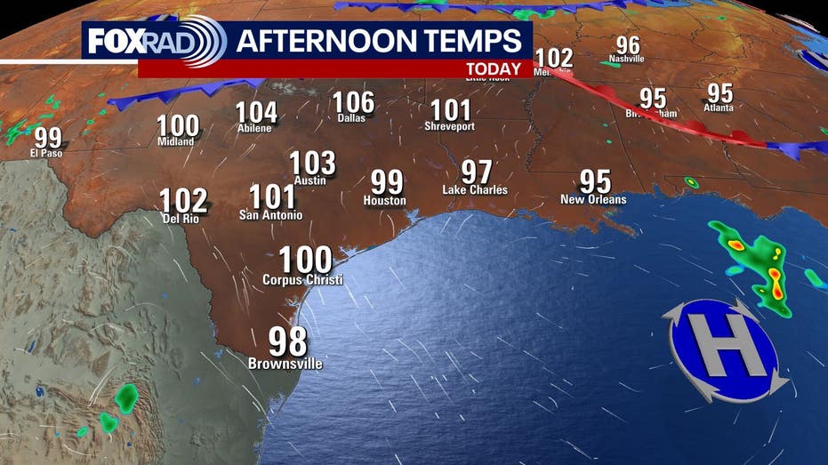
Houston is bracing for another hot and humid day as a persistent heat wave continues to dominate the weather landscape. Wednesday brings clear skies and a lack of rain, reinforcing the sweltering conditions.
With temperatures soaring, residents can expect heat indices to feel like they are in the triple digits. This trend is set to persist, with no signs of relief in the immediate future.
The National Weather Service has issued a heat advisory effective from noon on Thursday until 7 p.m. Friday for several regions in southeast Texas, including the Houston area. The advisory warns that heat index values could climb between 106 and 110 degrees.
On Wednesday, high temperatures are predicted to reach the upper 90s to low 100s across Southeast Texas, with Houston likely hitting the upper 90s. The combination of heat and humidity will make it feel even warmer, with a heat index around 105 degrees.
As the workweek wraps up, the heat wave is expected to persist, with temperatures nearing 100 degrees. Although current rain chances are minimal, there is a possibility of isolated showers and thunderstorms making a return over the weekend.
In terms of tropical activity, the Atlantic, Caribbean, and Gulf regions are experiencing an unusual calm for mid-August. No tropical developments are anticipated in the near future, providing the Gulf Coast with a temporary reprieve during the peak of hurricane season. However, a tropical wave in the eastern Atlantic may have the potential to develop within the next week.