








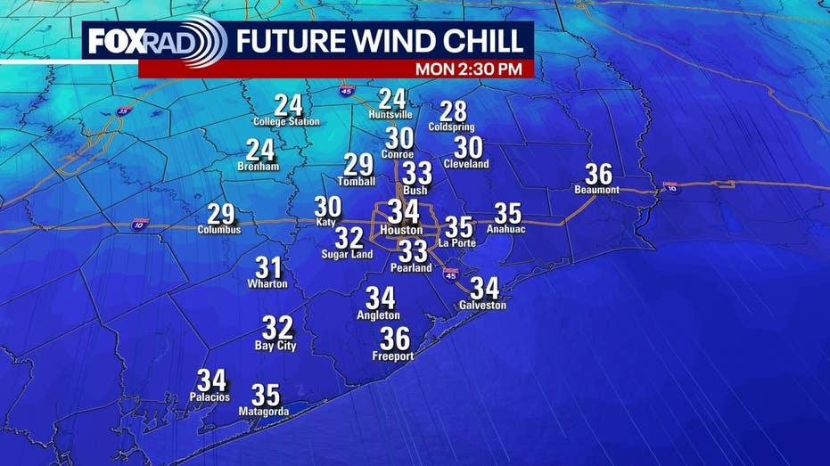
The weather in Houston is frigid this Monday morning, with temperatures plummeting into the 20s and wind chills dropping to the low teens. As the day progresses, conditions will improve slightly, becoming partly sunny but remaining cold, with afternoon highs approaching 40 degrees.
The extreme cold persists across Texas, with the Houston area and the rest of the state still feeling the effects of a harsh Arctic air mass. Early morning temperatures were well below freezing, and wind chills made it feel even colder.
While there are some lingering icy patches, particularly in the northern and western counties, they do not pose a widespread issue. The sunshine is expected to assist many areas in rising above freezing later today, but caution is advised as the cold can still be hazardous for people, pets, plants, and pipes tonight, with temperatures dipping back into the 20s.
Looking ahead to the rest of the week, a gradual warming trend is anticipated, although it will not be a rapid change. Afternoon temperatures are expected to slowly rise into the 40s and lower 50s, while nighttime temperatures will still be a concern. Another hard freeze is likely tonight, with additional widespread freezes expected on Tuesday and Wednesday nights, bringing lows closer to 32 degrees.
As we look toward the weekend, another strong cold front is predicted to sweep through on Friday, potentially bringing rain and setting the stage for another wave of cold air. While there is still some uncertainty regarding exact temperatures, current forecasts suggest we may experience sub-freezing conditions once again.
For now, it appears that any showers on Friday will clear out before the cold air arrives, reducing the likelihood of ice formation. However, this is a situation that will need to be monitored closely throughout the week.