





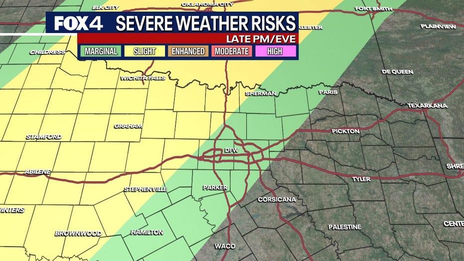
North Texas is currently experiencing a dynamic weather pattern, with robust southern winds and temperatures projected to reach the low 80s through Tuesday. The area is on alert for isolated severe thunderstorms this evening, which may carry the risk of hail and strong winds. A more extensive rain event is anticipated to unfold on Wednesday morning.
In the Dallas area, Tuesday morning starts off relatively dry, but conditions are expected to shift as the day progresses. Meteorologist Ali Turiano predicts mostly overcast skies accompanied by strong southerly winds. By the evening, isolated to scattered thunderstorms are likely to develop, particularly in regions west and northwest of the Dallas-Fort Worth Metroplex. Some of these storms could escalate to severe levels, with the potential for damaging winds and large hail, although they are expected to diminish overnight.
Looking ahead, another wave of scattered rain and storms is forecasted for Wednesday. The National Weather Service indicates that widespread rainfall in the morning may reduce the intensity and coverage of any subsequent storms later in the day. Following this, residents can expect a brief respite from the rain with drier conditions on Thursday and Friday.
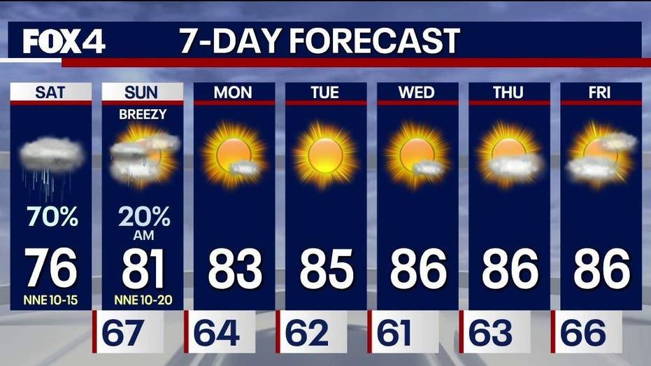
A cold front is expected to move through early Saturday morning, bringing additional rain and storms. Once this front passes, North Texas will see a return to drier and cooler weather for the remainder of the weekend.