









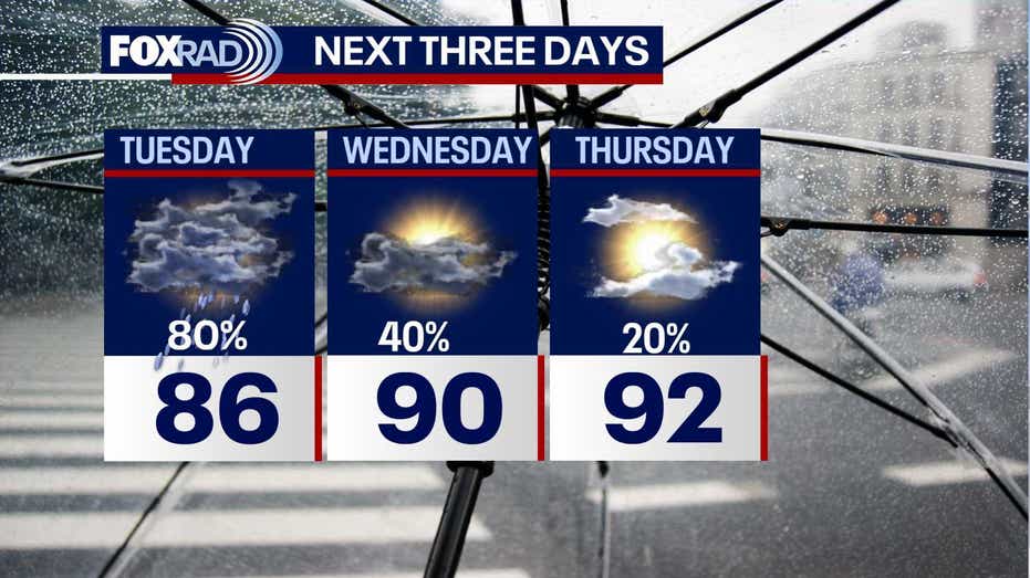
Residents of Houston should prepare for a significant amount of rainfall on Tuesday, as multiple rounds of heavy showers are expected to impact Southeast Texas. Street flooding is likely in low-lying areas and those with inadequate drainage. The threat of flooding will persist as showers and thunderstorms continue throughout the day, creating conditions that could lead to localized flooding.
The Weather Prediction Center has issued a warning, placing most regions in a 2/4 risk category for excessive rainfall on Tuesday. This means that residents should remain vigilant as the weather unfolds.
As deeper Gulf moisture lingers over the area, a stalled front to the north will contribute to ongoing rain, resulting in scattered to widespread downpours that may last through Wednesday. Expect increased cloud cover and higher chances of rain, which will help keep temperatures below the normal seasonal averages. The heaviest rainfall is anticipated during the early evening hours, with rain starting earlier on Tuesday compared to previous days. While Wednesday may see less widespread rain, downpours will still be a possibility.
Looking ahead to the end of the week, conditions are expected to improve, transitioning to a hotter and drier weather pattern. By the weekend, temperatures could rise into the middle to upper 90s, with the heat index potentially reaching between 102 and 107 degrees.
In terms of tropical activity, the National Hurricane Center indicates a quiet period for the next week across the Atlantic, Caribbean, and Gulf. Some forecast models suggest a slight possibility of tropical development near a stalled front off the northeastern Gulf coast of Florida early next week, but it is still too early to make definitive predictions.