








A significant winter storm is set to impact the Great Lakes and Northeast regions starting Friday, bringing with it a mix of ice and snow that is expected to continue into Saturday.
Travel conditions are predicted to become hazardous as ice, sleet, and freezing rain create slippery roads from the Upper Midwest to the Mid-Atlantic. New York City could experience its heaviest snowfall in years, with substantial accumulations anticipated.
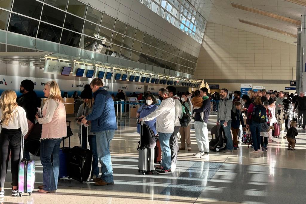
Flight cancellations have already exceeded 1,400 across the country on Friday, with thousands more delays reported, according to data from FlightAware.
Millions of Americans reside in areas currently under winter weather advisories, with the most severe warnings issued for parts of central Pennsylvania, the New York Tri-State area, and areas to the north.
Winter storm warnings are effective from Friday afternoon through midday Saturday for New York City and its surrounding regions, which include northern New Jersey, most of Long Island, the Hudson Valley, and western Connecticut.
An ice storm warning is in effect for counties in central Pennsylvania, including Somerset, Westmoreland, Indiana, Armstrong, Clarion, Jefferson, Forest, and Venango, lasting through Saturday morning.
Freezing rain and sleet pose the greatest threat to an area extending from central Michigan through southwestern New York and into central Pennsylvania.
In the Pittsburgh metro area, although conditions will initially involve freezing rain, a transition to rain is expected. However, central Pennsylvania could see ice accumulation of a quarter-inch or more.
The storm is forecasted to reach the Philadelphia area by Friday afternoon. Meteorologists are advising residents to be settled in by 3 p.m. Friday and to avoid travel overnight into Saturday.
Meanwhile, in central and northern Maryland, a wintry mix of freezing rain and sleet is anticipated to develop by Friday afternoon.
For New York City, this storm is predicted to evolve into a significant snow event, with forecasts indicating 4 to 8 inches of snow for the metro area. Northern communities may receive up to 10 inches, particularly in the Catskills and Pocono Mountains.
Forecasts indicate that snowfall rates could reach one to two inches per hour, resulting in treacherous driving conditions and poor visibility. Meteorologists urge residents to prepare for heavy snow and to pace themselves when shoveling.
This winter storm is poised to deliver the most substantial snowfall to New York City in almost four years, with the last significant event occurring on January 28-29, 2022, when 8.5 inches fell in Central Park.
Snow totals are expected to be lower in the Jersey Shore and central New Jersey, with projections of 3 to 5 inches due to a mix of freezing rain and sleet.