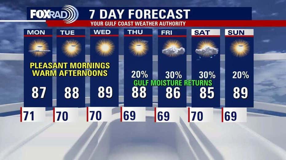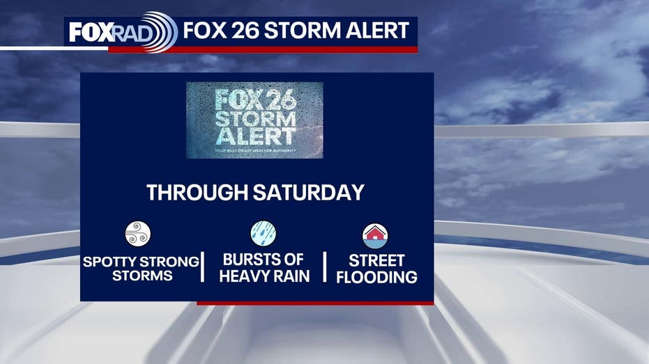







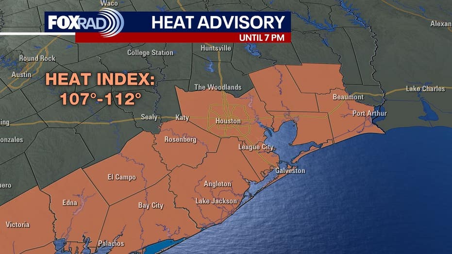
A heat advisory is currently in effect for Houston from 1 PM to 7 PM on Saturday. A weak summer front is expected to move through Southeast Texas, potentially increasing the likelihood of isolated showers and thunderstorms over the weekend.
While temperatures are expected to feel like they are in the triple digits, the possibility of storms may offer a brief respite from the heat. The northern areas of I-10 are predicted to have the greatest chances for heavy rain and thunderstorms.
The heat advisory warns that heat index values could soar between 107 and 112 degrees. Highs will reach the mid to upper 90s, with some locations potentially hitting the 100-degree mark. However, as the summer front passes through the region, humidity levels may decrease, particularly in areas north of Houston.
This drop in humidity could lead to dew points falling into the 50s, providing a more comfortable atmosphere compared to the usual oppressive summer conditions.
On a positive note, there are currently no tropical threats looming over the Atlantic basin for Houston or the Gulf Coast. August typically marks an uptick in tropical activity, so it is advisable to stay informed as the month progresses.