






Could Houston experience snow this weekend? A significant arctic blast is on the way, prompting concerns over potential freezing rain and icy conditions.
The forecast indicates a transition from mild temperatures to a drastic chill. Currently, Houston is enjoying relatively warm winter weather with highs in the mid-60s, but that is about to change.
Current Weather Overview
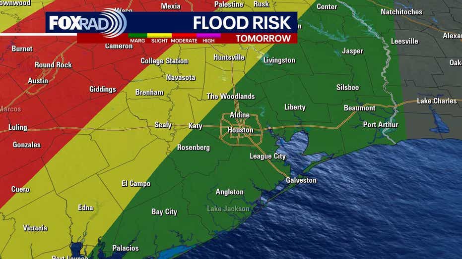
Today, cloudy skies are expected as onshore winds bring in milder air. Temperatures will reach the mid-60s with scattered showers and isolated thunderstorms likely on Wednesday and continuing through Thursday and Friday.
Residents are advised to relish the mild conditions, with afternoon highs forecasted in the upper 60s and low 70s and nighttime lows hovering around the upper 50s.
Arctic Blast Timeline
A powerful Arctic cold front is anticipated to sweep through Texas late Friday into early Saturday morning, hitting the Houston area late Saturday. This front will usher in the coldest air of the season.
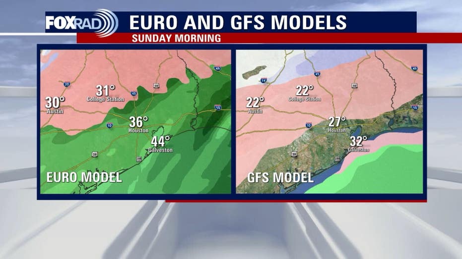
Temperatures are expected to plummet from around 70 degrees on Friday to the 30s and 40s by Saturday afternoon, with overnight lows potentially dropping into the 20s. Wind chills could fall into the teens, and in some northern counties, even single digits, raising the risk of a “hard freeze” for areas north of I-10 on Sunday and Monday morning.
Potential Impacts
A significant winter storm is developing as Gulf moisture collides with subfreezing temperatures on Saturday and Sunday. There is an increasing likelihood of freezing rain and sleet, particularly in areas north of Houston. However, a shift in the freeze line could result in icy conditions extending into the greater Houston area.
While the chance of snow is lower compared to ice, even minor icing combined with frigid temperatures will create hazardous travel conditions across Southeast Texas from late Saturday through midday Monday.
ERCOT’s Preparations
In anticipation of the upcoming winter storm, the Electric Reliability Council of Texas (ERCOT) is preparing for potential impacts on the power grid. An “Operating Condition Notice” has been issued, signaling that an extreme cold weather system is approaching the region, with temperatures expected to remain below freezing and the possibility of precipitation over the weekend.
This notice represents the first level of communication from ERCOT regarding potential emergency conditions, indicating their readiness to address the challenges posed by the inclement weather.