







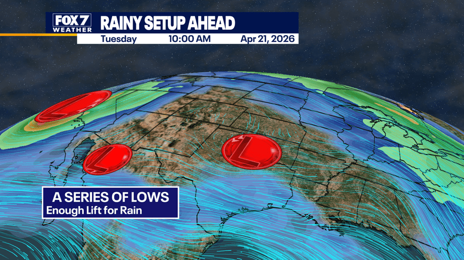
AUSTIN, Texas – A series of Pacific low-pressure systems are set to bring a cloudy, wet, and cool beginning to the week in Central Texas.
Residents can expect multiple rounds of rain and storms today and tomorrow, although severe weather is not anticipated. The first wave of precipitation is likely to occur this afternoon, followed by a temporary lull in activity tonight.
The second low-pressure system will arrive on Tuesday, contributing to the much-needed rainfall across the region.
While the risk of flooding remains relatively low, areas closer to San Antonio may experience some marginal flooding. Central Texas is under a LEVEL 1 alert for potential ponding on roads and minor flooding. Forecast models indicate that most of the area could receive between half an inch to one inch of rain, with some locations possibly seeing 1 to 2 inches over the next 48 hours.
Motorists are advised to exercise caution, as roads are expected to be quite wet during upcoming commutes.
Looking ahead, the weather is projected to become drier and warmer as the week progresses.
For real-time updates and forecasts in the Austin area, residents can utilize the free FOX 7 WAPP, which offers radar, hourly forecasts, and a 7-day outlook at a glance. Weather alerts will help keep the community informed and safe during this rainy period.